REHUB Miami
Miami River
Waterfront condos, historic residential streets, and city life along a working river
Overview
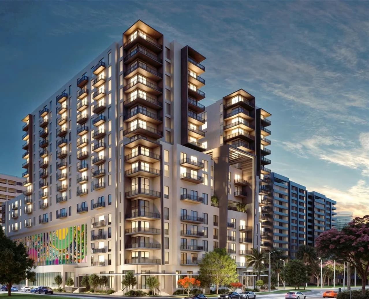
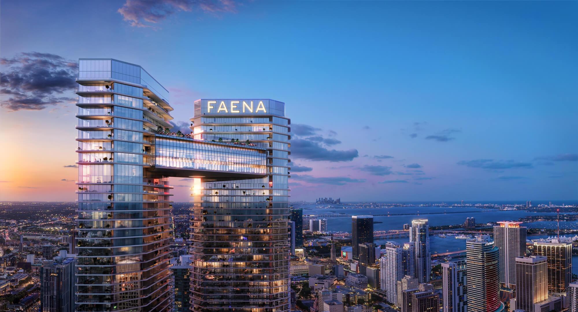
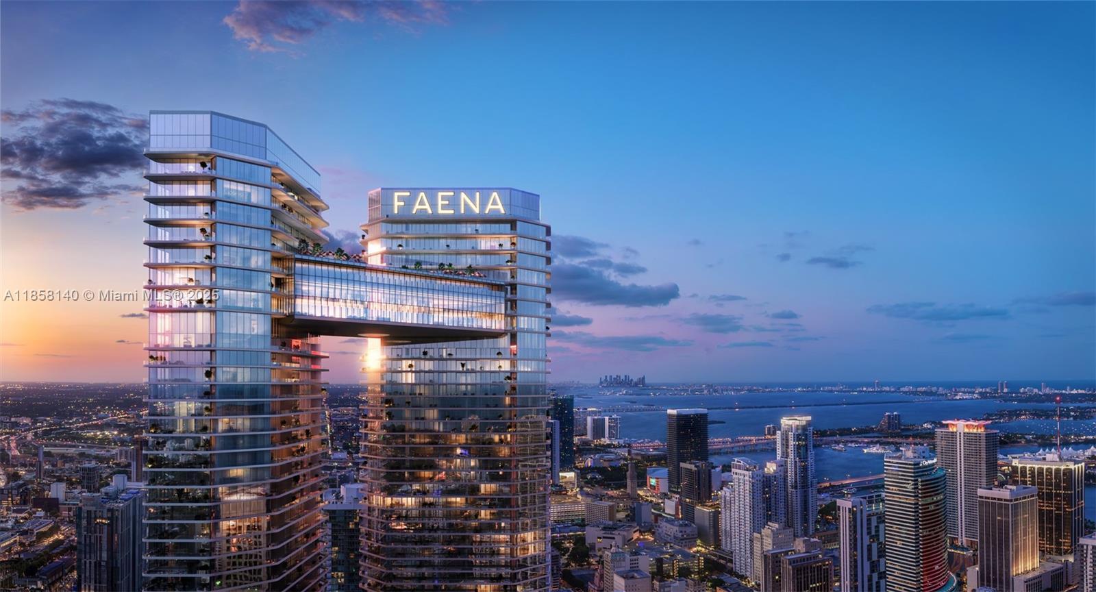
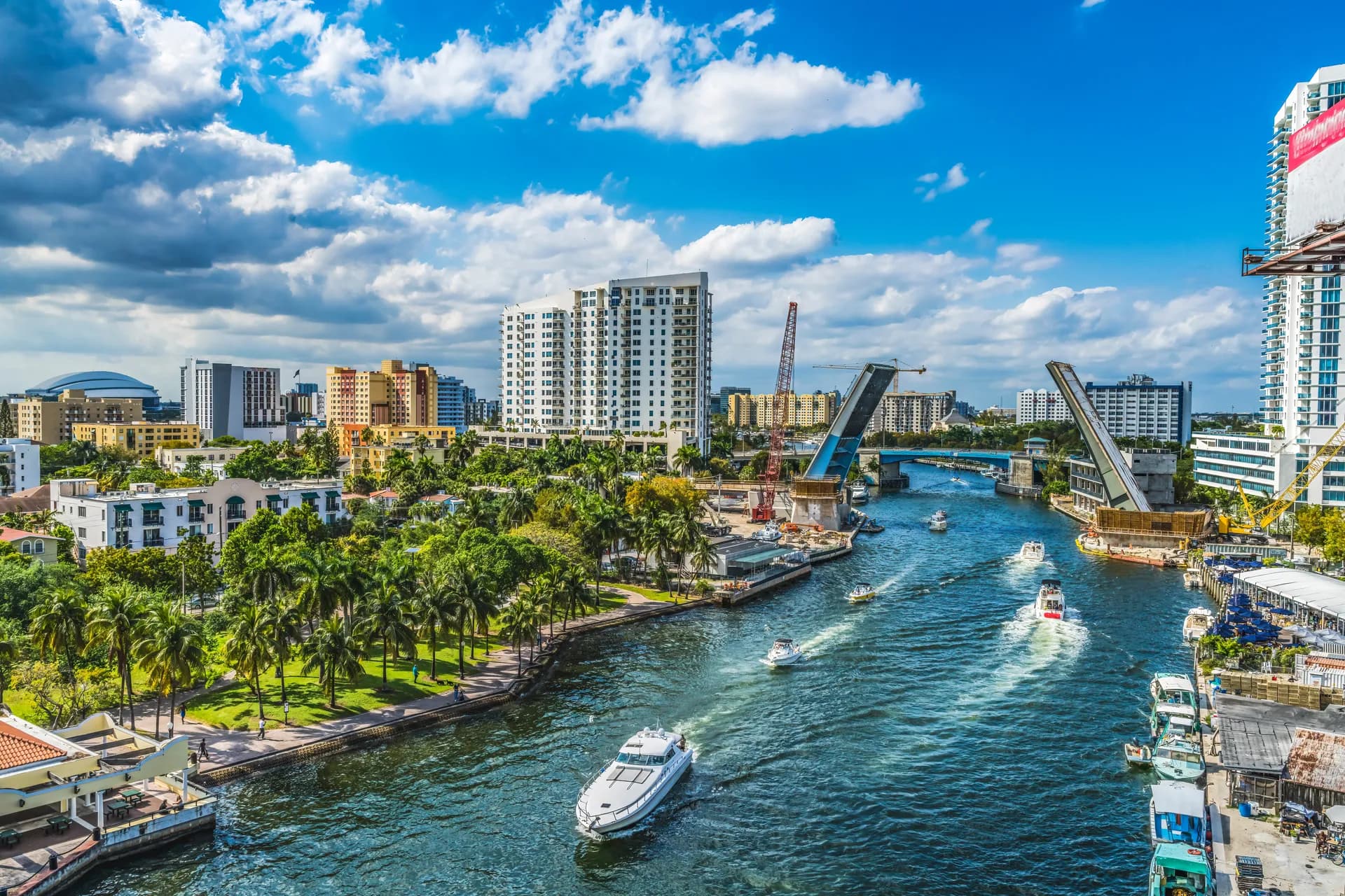
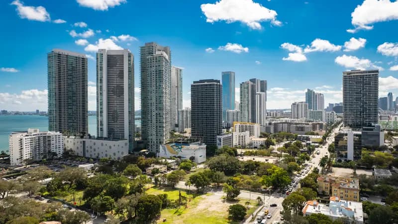
The Miami River corridor combines waterfront condominium towers, historic residential streets, public parks, restaurants, and an active maritime waterway. From the river mouth beside Downtown and Brickell to the neighborhoods farther inland, housing choices and daily connections vary by address.
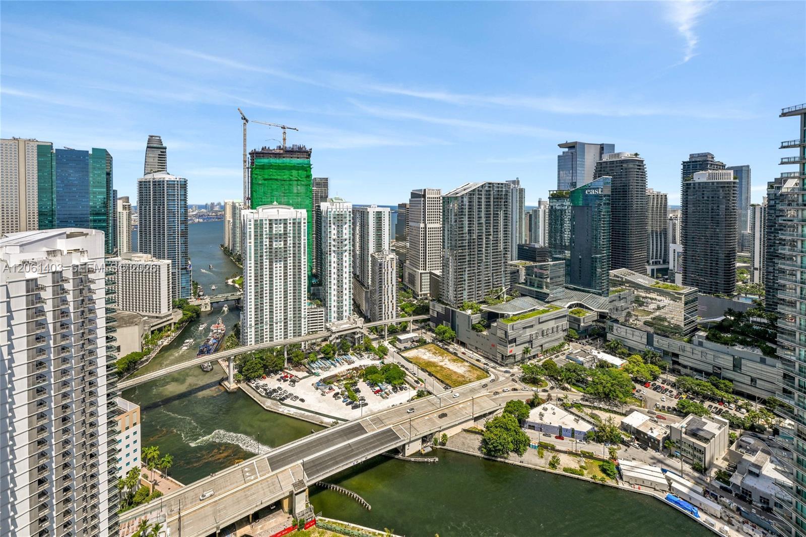
The Miami River brings together waterfront condominium towers, historic residential streets, restaurants, parks, and an active maritime corridor. It runs inland from Biscayne Bay between Downtown Miami and Brickell before continuing through a much broader part of the city. For a buyer, the river is a useful starting point rather than a single, uniform neighborhood: the setting near its mouth differs from the streets around Lummus Park, Spring Garden, and the working waterfront farther upstream.
The Lower River & the Downtown Connection
Near Biscayne Bay, the river meets the towers and business districts of Downtown and Brickell. This is the place to begin if your priority is an urban condominium with access to those districts. Compare the north and south banks, the bridge you will use, and the actual walking route from the building. Two residences facing each other across the water may have very different approaches to shops, transit, and your workplace.
Farther inland, the corridor becomes a patchwork of residential blocks, riverfront businesses, roads, and bridges. Do not assume a property marketed as Miami River living has the same surroundings as a lower-river tower. Walk the immediate block and travel beyond the development entrance to understand what is connected today.
Historic Neighborhoods & Housing Choices
Lummus Park anchors a historic district with older houses and apartment buildings close to the traditional downtown area. Spring Garden, around the river and Seybold Canal, preserves another part of Miami's residential history, including early twentieth-century houses. These settings broaden the search beyond glass towers and make the corridor relevant to buyers interested in established streets and individual homes.
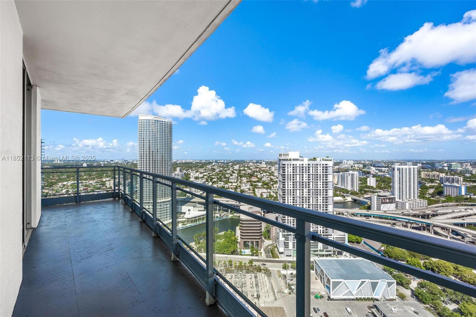
For a condominium, compare the residence, balcony, parking arrangement, common areas, and the river frontage the building actually provides. For a house, the lot, renovation history, street character, and connection to the water become central. A historic setting and a new residential development require different questions; neither can be evaluated adequately from a waterfront photograph alone.
A Working Waterway & Public Riverfront Spaces
The Miami River remains a working maritime waterway. Commercial activity and vessel movements are part of its identity alongside residential development and waterfront dining. Buyers who enjoy that activity may see it as an attraction; those looking for a quiet water outlook should visit the actual balcony at different times and understand the nearby operations.
The Miami River Greenway connects public access and walking routes along parts of the corridor, but you should inspect the route you intend to use rather than assume an uninterrupted promenade outside every property. On the south bank, Jose Marti Park offers waterfront public space, recreation facilities, and a playground. Lummus Park supplies another public green space on the north side, with historic features and neighborhood recreation.
Bridges, Transit & Everyday Trips
The river's bridges organize movement between its banks. Some are movable bridges, so factor their operation into a regular drive or walk. A building's distance from Brickell or Downtown on a map does not fully explain the route, crossings, and intersections between the entrance and your destination.
The lower-river area can connect to Metromover and to Metrorail through Downtown or Brickell, depending on the address. Rail access is not uniform along the entire river corridor. Locate the actual station, check the current service, and walk the approach before treating transit as a daily alternative to driving. Do the same for groceries and other recurring errands.
Who the Miami River Suits
The corridor is worth exploring if you want an urban waterfront setting with more variety than a single tower district. Build a shortlist around the experience you prefer: lower-river condo living, an established residential street, or a property farther inland. Compare today's surroundings and usable connections alongside any proposed development. The right river address should work for your routine as it exists now.
- Waterfront living
- Marina access
- New developments
- Central location
- River views
Loading property options…
Loading buildings…
Loading listings…
Loading market data…
Demographics
Population10,000
Average Age35
Median Income$85,000
Households15,000
Life in Miami River
Amenities & Nearby
Miami Riverwalk
Scenic waterfront promenade along the Miami River
3 min walk4.3/5
Seaspice Brasserie & Lounge
Upscale waterfront dining with yacht docking
5 min walk4.4/5
Miami River Marina
Full-service marina with yacht services
8 min walk4.2/5
Transportation
Metromover
Access via downtown Miami stations
10 min walkEvery 2 min
Metrorail
Government Center station nearby
12 min walkEvery 5-10 min
Miami-Dade Transit
Multiple bus routes connecting to downtown and beyond
5 min walkEvery 10-15 min
Loading sales history…
Loading guides…
Nearby Neighborhoods
Frequently Asked Questions About Miami River
Is Miami River walkable?
Miami River has a Walk Score of 92, rated as "Walker's Paradise". The Transit Score is 100, indicating excellent public transportation options.
What is Miami River known for?
The Miami River brings together waterfront condominium towers, historic residential streets, restaurants, parks, and an active maritime corridor. It runs inland from Biscayne Bay between Downtown Miami and Brickell before continuing through a much broader part of the city. For a buyer, the river is a useful starting point rather than a single, uniform neighborhood: the setting near its mouth differs from the streets around Lummus Park, Spring Garden, and the working waterfront farther upstream.
...